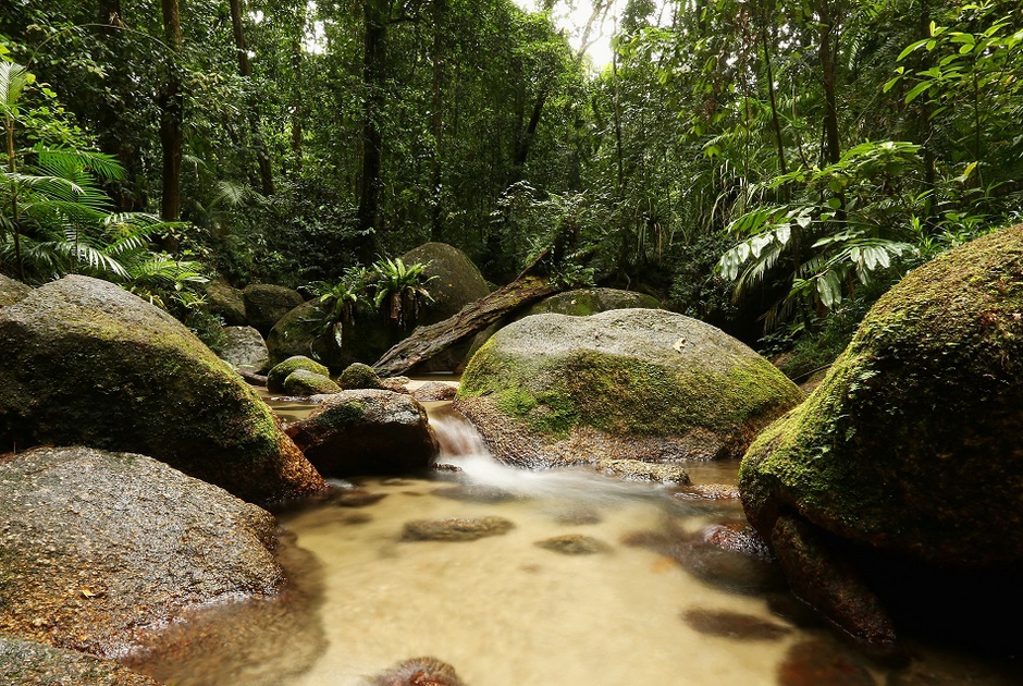

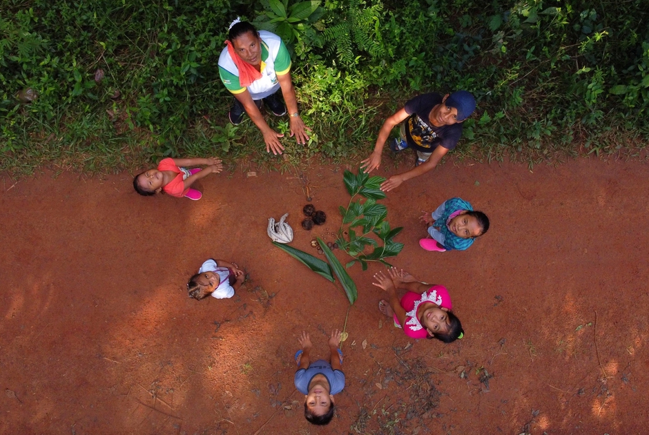
The Amazon became an alternative classroom during the pandemic. Now, the educational forest in Batraja, Bolivia, lives on to teach children and adults the value of nature.
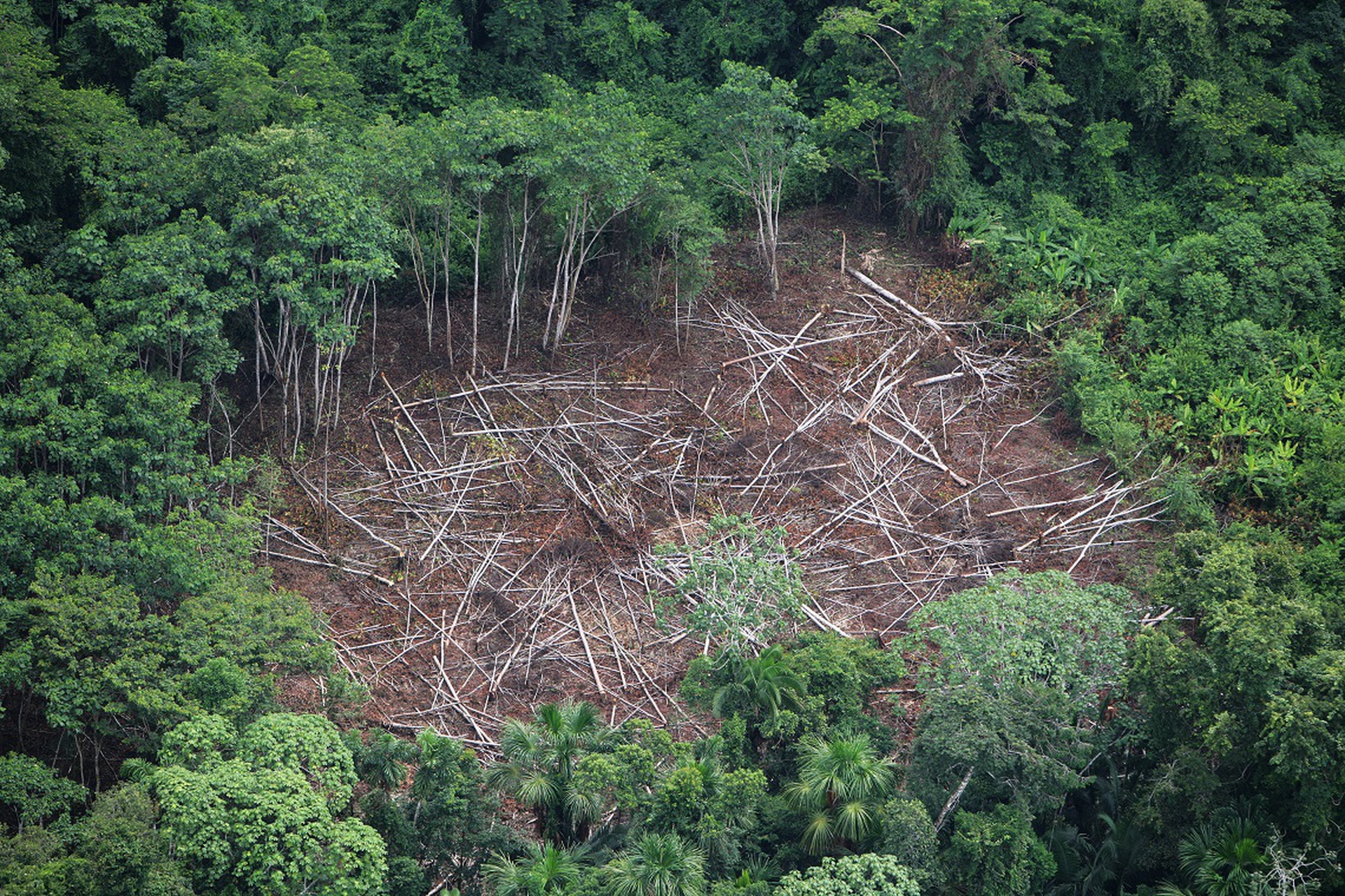
The connection between digital technology and satellite imagery is revolutionising the way natural resources can be used, including monitoring deforestation and desertification. As countries strive to reduce their carbon footprint by limiting deforestation, it is important they have the right tools. These must be transparent, consistent over time and suitable. To help these countries, the Food
The connection between digital technology and satellite imagery is revolutionising the way natural resources can be used, including monitoring deforestation and desertification. As countries strive to reduce their carbon footprint by limiting deforestation, it is important they have the right tools. These must be transparent, consistent over time and suitable. To help these countries, the Food and Agriculture Organisation (FAO) has launched Open Foris, an initiative aimed at developing, sharing and supporting software tools that facilitate data collection, analysis and reporting.
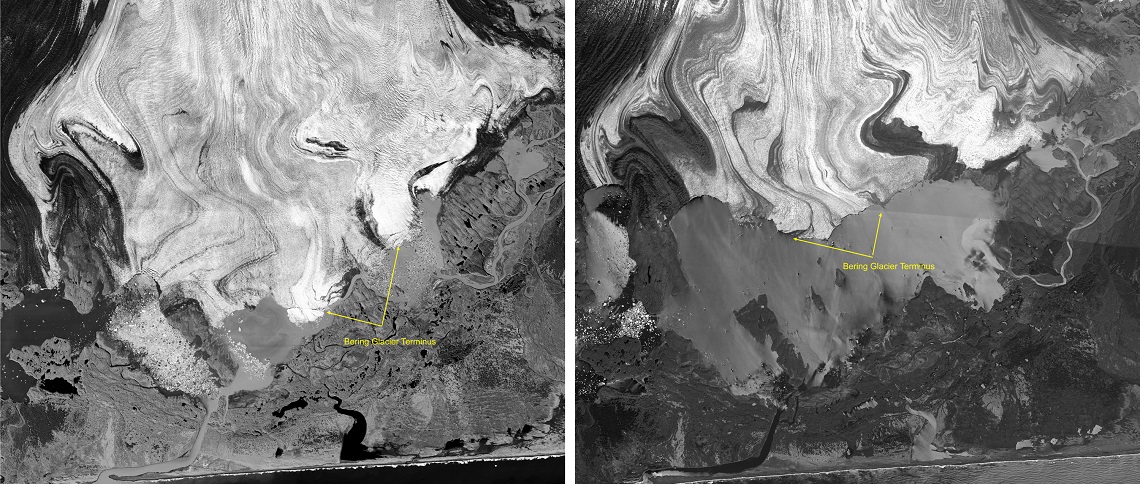
Collect Earth is a user-friendly app that can facilitate assessing deforestation and other forms of land use. This enables countries to quantify their environmental impact, including greenhouse gas emissions. It uses Google Earth‘s interface and the satellite imagery hosted within it to view plots of land. Google Earth uses current and historical high resolution images that are made available to everyone. Through these applications, anyone can access these databases and watch, monitor, compare, prevent and study all changes happening on the planet.
Google has opened its archives and put its algorithms to good use and FAO is deciphering these images in order to understand the effects of a changing climate on food security worldwide. Not only private sector or public companies can use these tools: even a small-scale farmer can monitor a piece of land no bigger than half a hectare (an acre) with their smartphone and prevent problems affecting their crops.
Collect Earth has been used for forest monitoring and dry land assessment in Africa. The app is very flexible and can be customized to suit different environments and environmental guidelines. For example, FAO has been able to determine the health status of forests and crops. In Chile, Panama, Namibia, Papua New Guinea, Tunisia and Bhutan it has organised training to use this software for its staff. On its part, Google has created a division called GEO for good, aimed at helping the interaction between Google Earth Engine and FAO’s app.
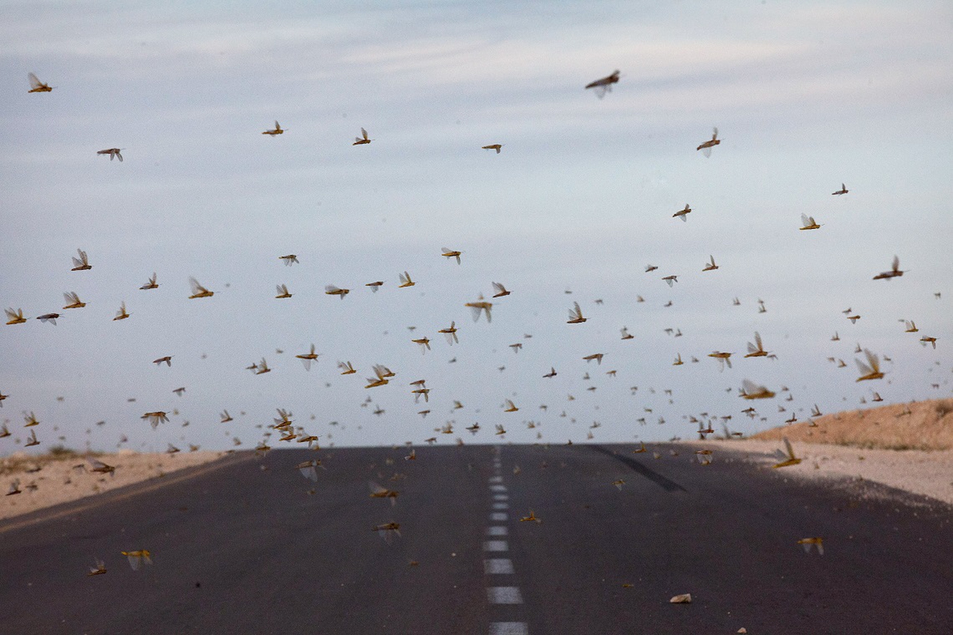
As a result, FAO has been able to improve forecast and control of desert locust outbreaks in Africa, and reduce camp losses and analyze water trends in specific areas. Google is helping with the efficiency, quality, timeliness and efficacy of this data collection. Whilst satellites can’t “see” the insects, they can accelerate the detection of breeding areas and make ground interventions more effective.
Enormous quantities of data are readily available, and are growing every day. In the past their analysis was complex, conducted principally by universities, and the results weren’t accessible. Today, knowledge is available and free. Even though satellite imagery can’t replace local expertise, as a certain dose of ground verification will be always needed, the frontiers it offers are endless.
Siamo anche su WhatsApp. Segui il canale ufficiale LifeGate per restare aggiornata, aggiornato sulle ultime notizie e sulle nostre attività.
![]()
Quest'opera è distribuita con Licenza Creative Commons Attribuzione - Non commerciale - Non opere derivate 4.0 Internazionale.
The Amazon became an alternative classroom during the pandemic. Now, the educational forest in Batraja, Bolivia, lives on to teach children and adults the value of nature.
Our species took its first steps in a world covered in trees. Today, forests offer us sustenance, shelter, and clean the air that we breathe.
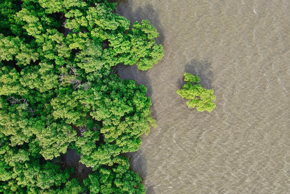
Bangladesh suffered widespread damage as a result of Cyclone Amphan. Yet the Sundarbans mangrove forest acted as a natural barrier protecting the country from further destruction, as it has done countless times before.
On top of a 2.4 million dollar compensation, the indigenous Ashaninka people will receive an official apology from the companies who deforested their lands in the 1980s.
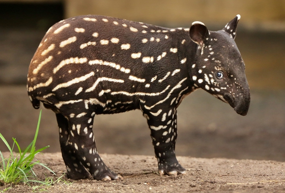
The tapir was reintroduced into Brazil’s Atlantic Forest, the country’s most at-risk ecosystem. The species can play a key role in the forest’s recovery.
Forests are home to 80 per cent of the world’s terrestrial biodiversity. This year’s International Day of Forests highlights the urgent changes needed to save them.
After a legal battle that lasted two years, Indonesia’s Supreme Court has revoked the permit to mine for coal in the forests of South Kalimantan in Borneo.
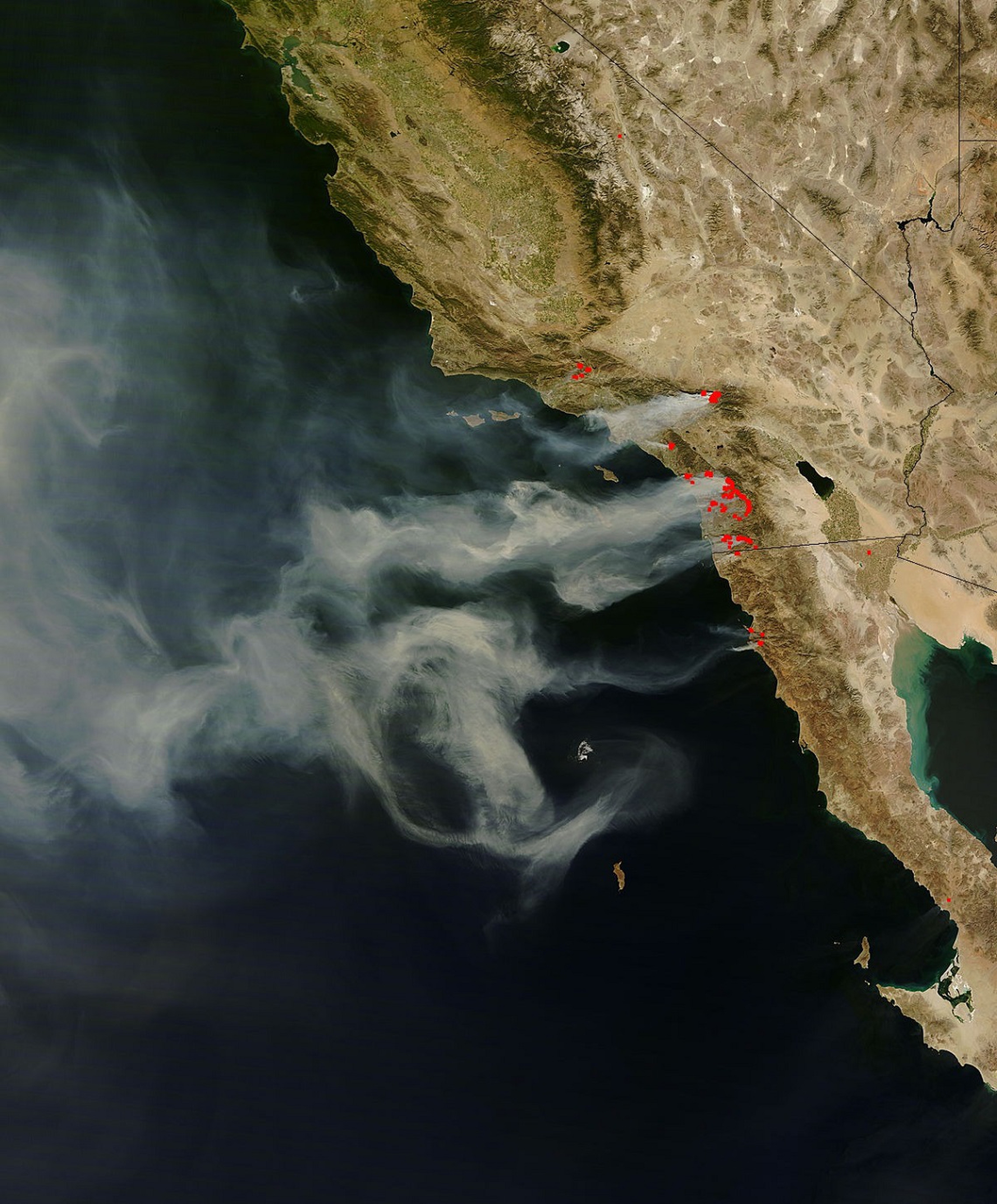
The list of human and animal victims of the Australia wildfires keeps growing – one species might already have gone extinct – as the smoke even reaches South America.
Areas where the FARC guerrilla used to hold power in Colombia have faced record deforestation. Farmers cut down trees, burn land and plant grass for cows. Because, “what else can we do for a living here in the Colombian Amazon”? An intimate report from the heart of the felled forest in Caquetá.